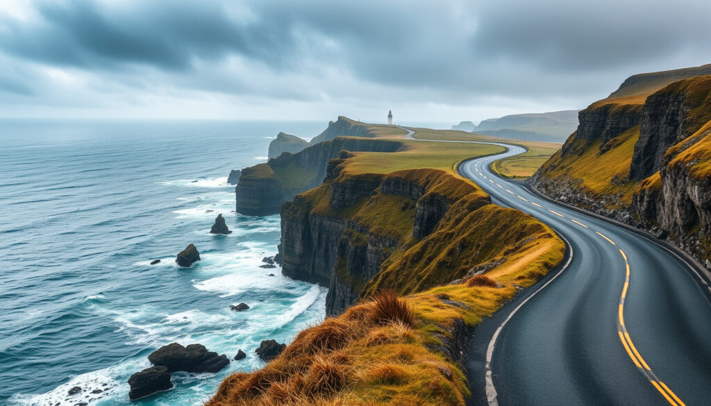
Wild Atlantic Way Ireland: Route & Planner
There is a reason the Wild Atlantic Way keeps landing at the top of Ireland travel lists — it is not just a road, but 2,600 kilometres of coastline that turns other scenic drives into a warm-up lap. Stretching from Inishowen in Donegal to Kinsale in Cork, this route passes nine counties and some of Europe’s most dramatic sea cliffs.
Length of route: Approximately 2,600 km (1,600 miles) ·
Number of counties: 9 counties along the west coast of Ireland ·
Recommended driving time: 7 to 10 days for a complete journey ·
Start and end points: Inishowen Peninsula, County Donegal to Kinsale, County Cork ·
Status: World’s longest defined coastal touring route
Quick snapshot
- 2,600 km along Ireland’s west coast (Fáilte Ireland – National Tourism Authority)
- 9 counties from Donegal to Cork (Fáilte Ireland – National Tourism Authority)
- World’s longest defined coastal route (Fáilte Ireland – National Tourism Authority)
- 3 days minimum (very rushed) (The Irish Road Trip – Travel Planning Guide)
- 7–10 days recommended (The Irish Road Trip – Travel Planning Guide)
- 2 weeks for full exploration (The Irish Road Trip – Travel Planning Guide)
- Cliffs of Moher
- Connemara National Park
- Ring of Kerry
- Slieve League Cliffs
- Book accommodation in advance in summer (Fáilte Ireland official map)
- Use Fáilte Ireland official map
- Download GPX for offline navigation (Fáilte Ireland official map)
Six key figures, one takeaway: the Wild Atlantic Way rewards those who plan for distance, not just driving time.
| Category | Value |
|---|---|
| Length (distance) | 2,600 km (1,600 miles) |
| Number of counties | 9 |
| Driving time (non-stop) | Approximately 30 hours |
| Recommended days | 7 to 10 days |
| Best season | May to September |
| Official website | thewildatlanticway.com |
How long does it take to drive the Wild Atlantic Way in Ireland?
Minimum vs recommended time
- Non-stop driving time is about 30 hours, but that ignores every viewpoint, stop, and detour.
- Most guides recommend 7 to 10 days for a full route experience (The Irish Road Trip – Travel Planning Guide).
- A 3-day trip covers only a fraction and is best for a highlight reel, especially the section between Galway and Killarney.
Sample 7-day itinerary overview
One popular 7-day pattern starts in Cork or Dublin, hits Kinsale, then Killarney, Dingle, the Ring of Kerry, and returns via the Gap of Dunloe (Bon Traveler – Itinerary Planner). Another 7-night self-drive begins in Shannon and includes Dingle, Limerick, Adare, the Conor Pass, and the Dingle Peninsula (Irish Tourism – Self-Drive Specialist).
What is the most beautiful part of the Wild Atlantic Way?
Top scenic highlights by region
- Cliffs of Moher, County Clare – 214-metre sheer drops, arguably the route’s most photographed spot (Cliffs of Moher Visitor Experience – Official Site).
- Connemara, County Galway – rugged mountains and peat bogs meet the Atlantic; the Sky Road near Clifden is a favourite.
- Ring of Kerry, County Kerry – a 179-km loop of beaches, mountains, and historic sites.
- Slieve League Cliffs, County Donegal – among the highest sea cliffs in Europe at almost 600 metres.
Cliffs of Moher
Located in County Clare, the Cliffs of Moher are a designated Wild Atlantic Way discovery point and the region’s most visited natural attraction. They offer a classic “wild Atlantic” view that sums up the route.
Connemara
Connemara National Park and the nearby Kylemore Abbey provide a quieter, more rural beauty. The area is often described as the “heart of the Wild Atlantic Way” by local tourism boards.
Ring of Kerry
The Ring of Kerry is a separate loop that intersects with the Wild Atlantic Way near Killarney. It is frequently named in traveller polls as one of Ireland’s most scenic drives (The Irish Road Trip).
Trying to name a single “most beautiful part” is subjective, but the Cliffs of Moher and the Ring of Kerry consistently appear at the top of first-time visitor lists, while Donegal’s cliffs win over repeat travellers. Your preference depends on whether you want iconic views or wild solitude.
Is the Wild Atlantic Way worth it?
Pros of driving the route
- Unmatched coastal scenery – every kilometre offers a new view.
- Well signposted with discovery points and brown route markers (Fáilte Ireland – Route Signage).
- Flexible – you can drive a segment in a day or spend weeks exploring.
- Free to drive (no tolls on the main route).
Cons and practical challenges
- Fuel costs for 2,600 km can exceed €400 (approx. 8.5 L/100 km, €1.70/L).
- Accommodation fills up in summer; book at least 2 months ahead for June–August.
- Weather is unpredictable – rain and fog can obscure views for days.
- Narrow roads and tour buses require patient driving.
Who should skip it
Travellers with only 2–3 days may be better off with a shorter Irish route like the Ring of Kerry or the Causeway Coastal Route. Those who dislike driving on narrow, winding roads might prefer a guided bus tour instead.
The Wild Atlantic Way delivers spectacular scenery but demands time and money. For a family on a tight schedule or a traveller with limited driving confidence, a smaller loop offers more enjoyment per hour behind the wheel.
Are the Cliffs of Moher on the Wild Atlantic Way?
Exact location on the route
Yes, the Cliffs of Moher are a designated part of the Wild Atlantic Way. They lie along the “Cliff Coast” segment in County Clare, approximately at mile marker 150 if travelling north-to-south.
Nearby towns and accessibility
- Nearest town: Doolin (6 km north) – known for traditional music and ferry access to the Aran Islands.
- Visitor centre has parking (€12 in 2025), a café, and viewing platforms.
Other major landmarks on the route
- Kylemore Abbey (Connemara)
- Mizen Head (County Cork)
- Fanad Head Lighthouse (County Donegal)
- The Burren (County Clare)
What is the poshest part of Ireland along the Wild Atlantic Way?
Areas often described as posh
- Kinsale, County Cork – known for gourmet restaurants, yachting, and colourful Georgian houses (Irish Tourism).
- Adare, County Limerick – a thatched-cottage village with luxury hotels and golf resorts.
- Killorglin and the Ring of Kerry – high-end lodges and spa retreats.
- Ahakista and the Sheep’s Head Peninsula – exclusive holiday homes favoured by artists and expats.
What defines “posh” on this route
Posh here means higher accommodation prices, fine dining, and a more manicured landscape. Kinsale and Adare are the closest equivalents to a “prestige” segment of the Wild Atlantic Way, while most of Donegal and Connemara remain wild and rugged.
How to plan your Wild Atlantic Way road trip: step by step
Step 1: Decide your direction and time
- North to south (Donegal to Cork) avoids head-on sun glare in the afternoon.
- South to north works equally well and puts you closer to Dublin Airport at the start (Bon Traveler – Direction Advice).
- Choose a segment if you have fewer than 7 days.
Step 2: Download maps and GPX
- Fáilte Ireland’s official digital map is available online; they recommend requesting a brochure by email because the large PDF is not time-efficient to download (Fáilte Ireland – Map Download Note).
- GPX files can be found on community sites like AllTrails and OpenStreetMap.
Step 3: Book accommodation in advance
- Summer months (June–August) require bookings 2–3 months ahead, especially in popular towns like Doolin, Dingle, and Kenmare.
- Consider B&Bs and guesthouses for local character; hotels in Kinsale and Adare fill fastest.
Step 4: Pack for all weather
- Rain gear, warm layers, and sunglasses – you can experience all four seasons in one afternoon.
- Carry a paper map as backup; mobile signal can be patchy on coastal stretches.
Step 5: Plan daily driving limits
- Aim for 2–4 hours of driving per day to allow time for stops and hikes.
- Use the 14-stage breakdown on TheWildAtlanticWay.com to split each day’s leg.
A well-planned 7-day itinerary covers either the south-west (Kinsale to Dingle) or the west coast (Galway to Donegal). Trying to do both in one week turns the trip into a driving marathon rather than a vacation.
What we know vs. what’s still unclear
Confirmed facts
- Route is 2,600 km according to official sources (Fáilte Ireland)
- Cliffs of Moher are part of the Wild Atlantic Way
- Fáilte Ireland publishes official maps and PDFs
- Recommended driving time is 7–10 days
What’s unclear
- Exact ranking of “most beautiful part” is subjective – no official tier list exists
- Time needed varies significantly by driving speed and number of stops – 7 days is a baseline, not a guarantee
“The Wild Atlantic Way is the world’s longest defined coastal touring route, stretching 2,600 km from Inishowen in Donegal to Kinsale in Cork.”
Fáilte Ireland – Ireland’s National Tourism Development Authority
“A one-week trip is usually best suited to a partial Wild Atlantic Way route rather than the full coast-to-coast drive.”
The implication: driving the full 2,600 km in a single week forces a pace that defeats the route’s purpose.
Related reading: Wild Atlantic Way maps and routes · Wild Atlantic Way itinerary guide
reneeroaming.com, littlewanderbook.com, ottsworld.com, helenabradbury.com, shershegoes.com, stenalinetravel.com
Frequently asked questions
Do I need to book accommodation in advance on the Wild Atlantic Way?
Yes, especially from May to September. Towns like Doolin, Dingle, and Kenmare fill up weeks ahead. Book at least two months in advance for summer travel.
Can I drive the Wild Atlantic Way in an electric car?
Yes. Charging points are available in major towns (Galway, Killarney, Westport) and many B&Bs offer overnight charging. Plan stops using the Fáilte Ireland digital map to locate chargers.
What is the speed limit on the Wild Atlantic Way?
Speed limits are standard Irish road limits: 80 km/h on regional roads (most of the route), 50 km/h in built-up areas, and 100 km/h on national roads. Narrow coastal sections often have a lower advisory limit.
Are there guided tours of the Wild Atlantic Way?
Yes. Several operators run multi-day coach tours, including Paddywagon Tours and Irish Day Tours. These are a good option if you prefer not to drive.
Is the Wild Atlantic Way suitable for campervans?
Many sections are fine for campervans, but some narrow roads (e.g., Conor Pass, parts of the Ring of Kerry) can be tight. Check height and width restrictions on TheWildAtlanticWay.com and book dedicated campsites in advance.
What is the weather like on the Wild Atlantic Way?
Unpredictable. Expect rain at any time, even in summer. Average temperatures range from 15°C in July to 8°C in winter. Pack waterproof layers and plan for indoor alternatives.
Do I need a special map or can I use Google Maps?
Google Maps works for most of the route, but offline maps are recommended because mobile reception is patchy in remote coastal areas. The official Fáilte Ireland digital map includes discovery points not always shown on standard apps.
More related posts
 Yahoo Mail Login: Sign In with Password Only
 Walk-in Clinic Dooradoyle: Hours, Costs, and What to Expect (2025)
 Is Switzerland in the EU? Status and Key Facts
 The Last Dinner Party: Band Members, Controversy, Tour & Albums
 Villeroy and Boch Ireland: Stockists, Outlet & Online Guide
 La Marzocco Coffee Machine: Price, Models, and Why It’s Expensive
 Cast of Django Unchained (2012): Roles, Actors & Oscar Winners
 Cars for Sale Northern Ireland: Compare Local & UK Sites
